1
AERIAL SURVEY & MAPPING
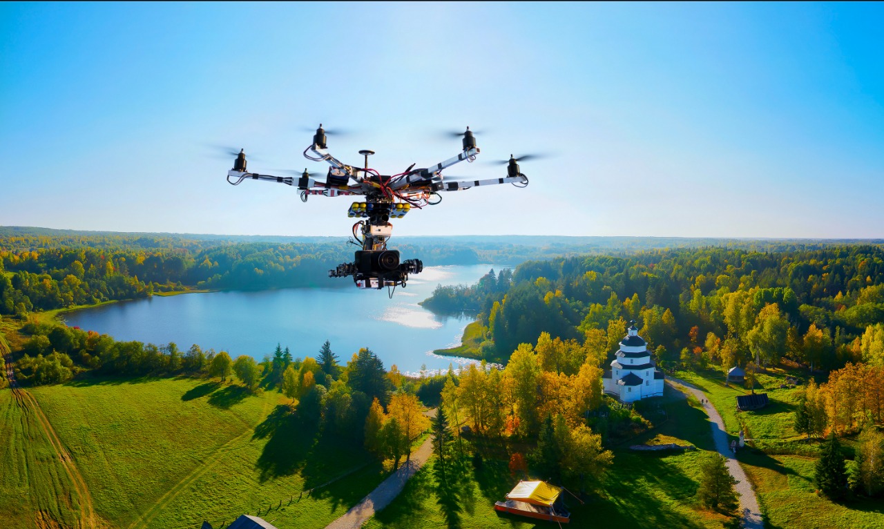
Drones and AI are used to survey and map the terrain to identify places needing Reforestation.We use hyperspectral image technology with Machine learning to generate topographical map to give a holistic sense of the total area.Area to be seeded is then identified based on parameters like density of trees, forest layers present and soil parameters
2
UNDERSTANDING THE REQUIREMENTS
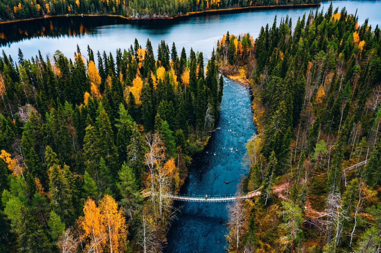
Determine trees to be grown based on various parameters like soil, climate, indigenous seed varieties & historical growth data using AI. Ecological science and Forest Management practices are taken into account while selecting the species to seed
3
SEED BALLS PREPARATION
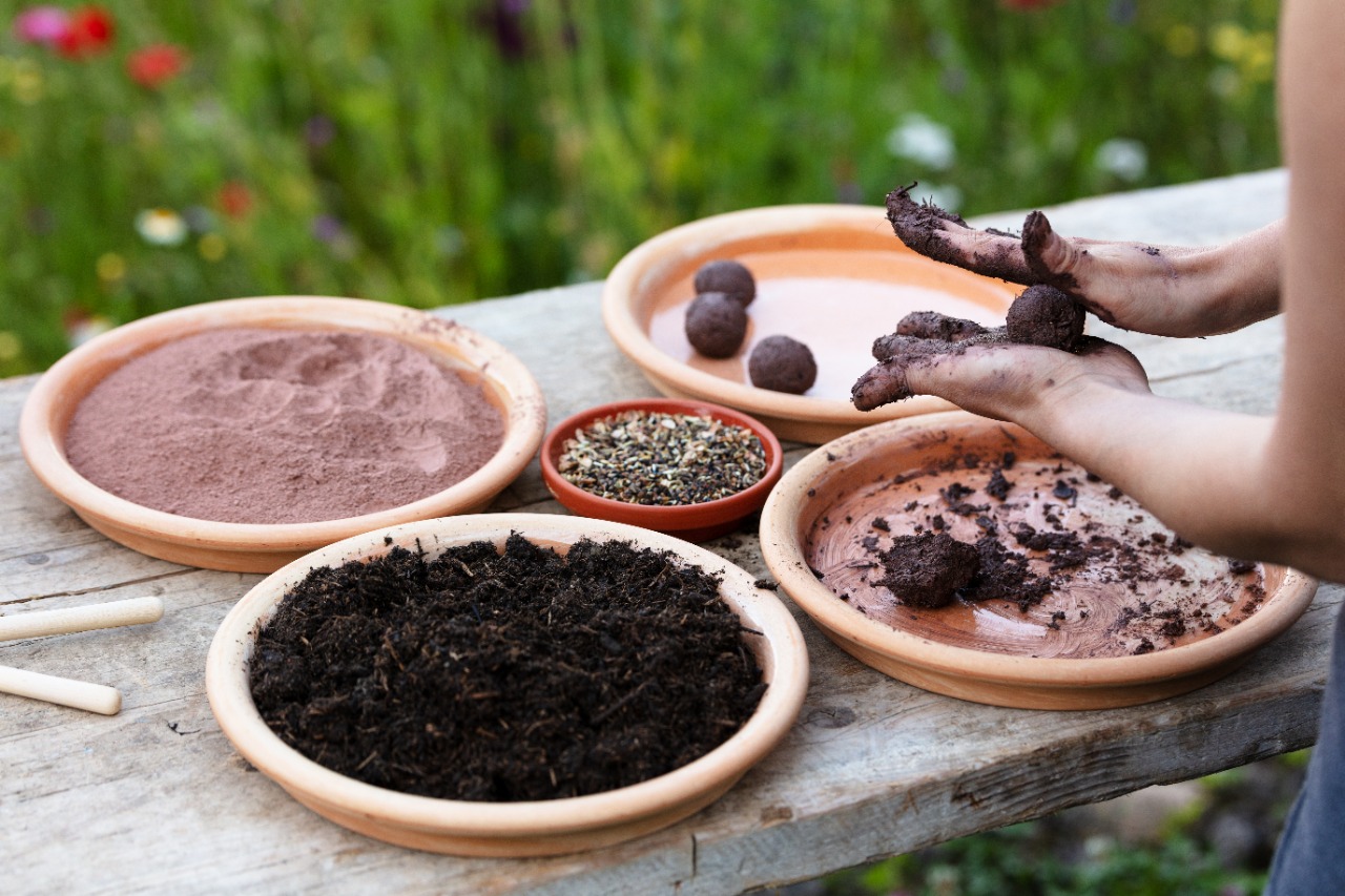
Seed balls are then created as per local soil requirements. Seedballs are created by local communities who are dependent on the forest area.
4
DRONE DEPLOYMENT
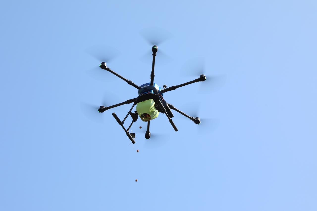
Drones are deployed to spray seeds over designated areas; reaching areas over treacherous terrain too. We fly the drones along pre-determined flight map.These maps are digitally rendered to cover all the area determined in Step 1 with topographical overlay for easy visualisation.
5
GEOTAGGING DRONEPATH
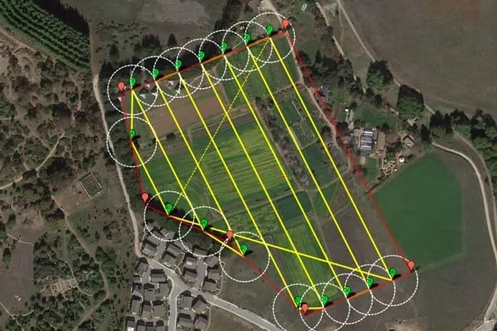
The path followed by the drones are geotagged, facilitating periodic drone monitoring of sown area to collect tree statistics. Monitoring is done in pre-determined intervals allowing for degrees of growth. Corrective steps are further taken for healthy growth of vegetation.
1
AERIAL SURVEY & MAPPING
Drones and AI are used to survey and map the terrain to identify places needing Reforestation.We use hyperspectral image technology with Machine learning to generate topographical map to give a holistic sense of the total area.Area to be seeded is then identified based on parameters like density of trees, forest layers present and soil parameters
UNDERSTANDING THE REQUIREMENTS
Determine trees to be grown based on various parameters like soil, climate, indigenous seed varieties & historical growth data using AI. Ecological science and Forest Management practices are taken into account while selecting the species to seed
2
3
SEED BALLS PREPARATION
Seed balls are then created as per local soil requirements. Seedballs are created by local communities who are dependent on the forest area.
DRONE DEPLOYMENT
Drones are deployed to spray seeds over designated areas; reaching areas over treacherous terrain too. We fly the drones along pre-determined flight map.These maps are digitally rendered to cover all the area determined in Step 1 with topographical overlay for easy visualisation.
4
5
GEOTAGGING DRONEPATH
The path followed by the drones are geotagged, facilitating periodic drone monitoring of sown area to collect tree statistics. Monitoring is done in pre-determined intervals allowing for degrees of growth. Corrective steps are further taken for healthy growth of vegetation.